1
/
of
2
Fishin Not Lookin
Port Canaveral to Fort Pierce
Port Canaveral to Fort Pierce
Regular price
$100.00 USD
Regular price
Sale price
$100.00 USD
Unit price
/
per
Shipping calculated at checkout.
Couldn't load pickup availability
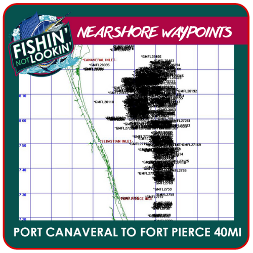
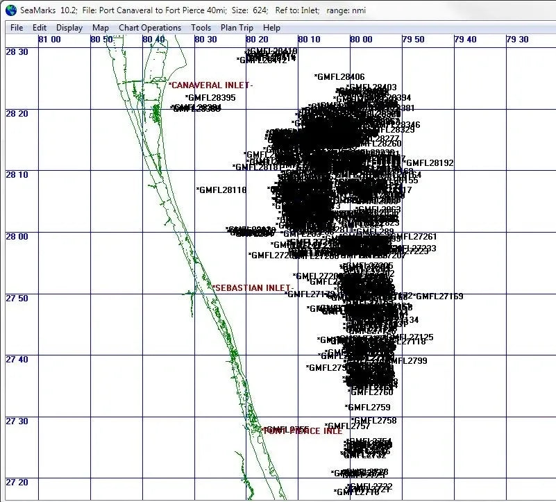
Nearshore spots between Port Canaveral and Fort Pierce, every one within 40 miles of shore. They come from Captain Gilbert Mathis's commercial logbooks, revised for anglers who want to stay closer to the beach. These aren't public reef numbers. Each spot comes with his notes on what was caught and the bottom he found.
At a glance
- Area: Between Port Canaveral and Fort Pierce
- Distance: within 40 miles of shore
- Delivery: instant download, one ZIP with 5 files
What's in the ZIP
- PDF to print your numbers
- JPG chart to print or keep on your phone
- KML to look the spots over in Google Earth before you run
- GPX and userimg.bin to load straight into your GPS
How to load it
Unzip the file on your computer. Copy the GPX file (or userimg.bin, if your unit uses it) to your chartplotter's SD card, then import waypoints from the card in your unit's menu.
Questions
- Are these public numbers? No. They come from Captain Mathis's own logbooks, not from state reef lists or satellite maps.
- Are they kept current? Yes. We still fish these waters, update numbers when the bottom changes, and add new spots when we find them.
- When do I get them? Right after checkout. You'll get a download link on the order page and by email.
- What if a file won't load? Reach out through our contact page and I'll walk you through it.
Tight lines,
Mike
Share